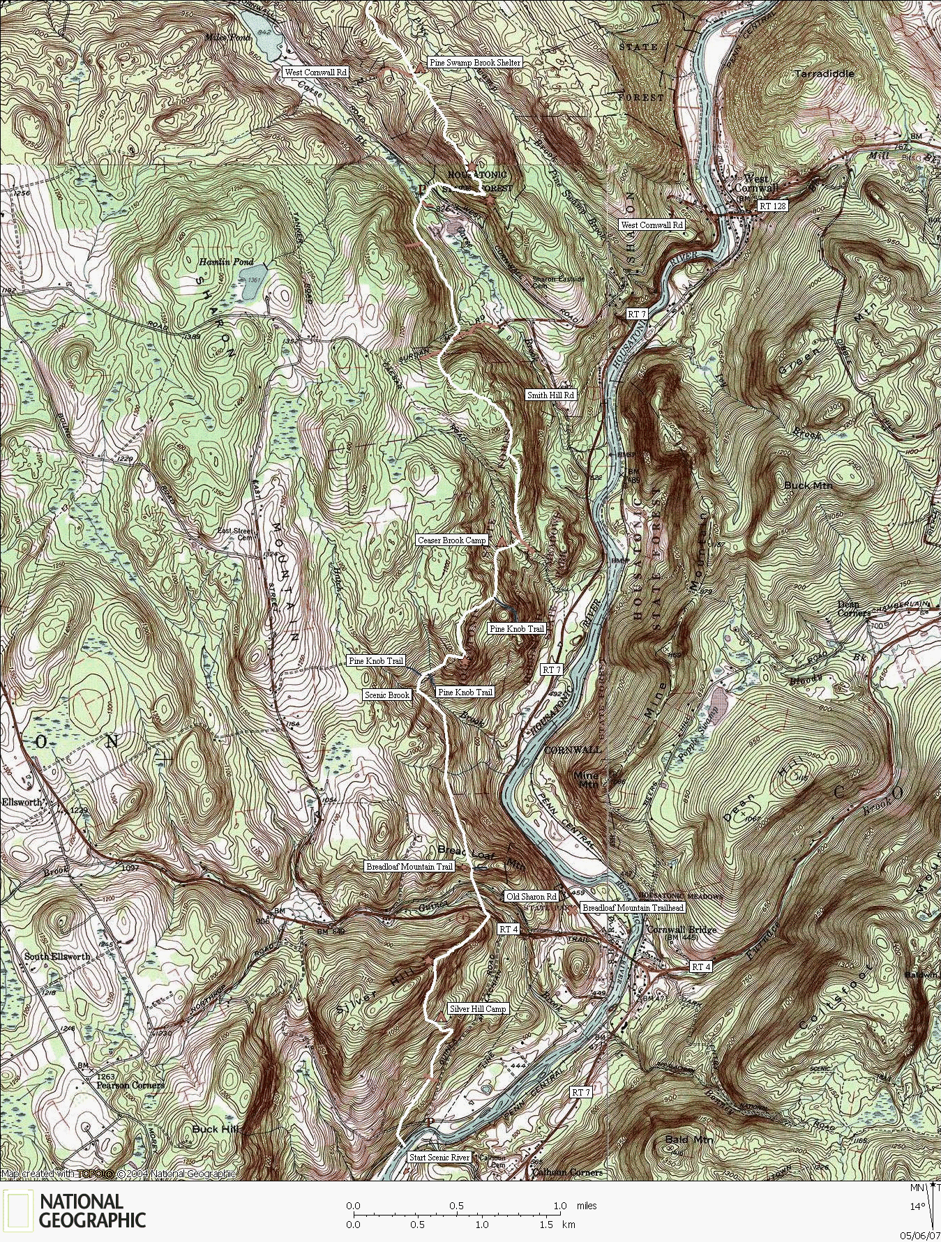
Trail mapped by CTXGuide copyright 2007
Map created with TOPO! copyright 2007 National Geographic
This leg of the hike begins at the marshes on the south side of West Cornwall Rd. There is a log footbridge spanning the small stream that drains the marsh. The ridges provide a few scenic views and the stream crossings follow scenic gulleys and gorges. There are two side trails accessing RT 7 from below the ridges. The first is Pine Knob Loop and the other is Breadloaf Mountain Trail. Once reaching the Housatonic River, there are miles of hiking along a fly-fisherman's paradise. This is the River Road section of the Appalachian Trail, but the road has long faded away. The only thing that remains is a single-file footpath with riverbank access to the Housatonic. There are camping areas located along the Housatonic on the next map to the south that make perfect fishing camps.
The Appalachian Trail
W. Cornwall Rd to River Rd


