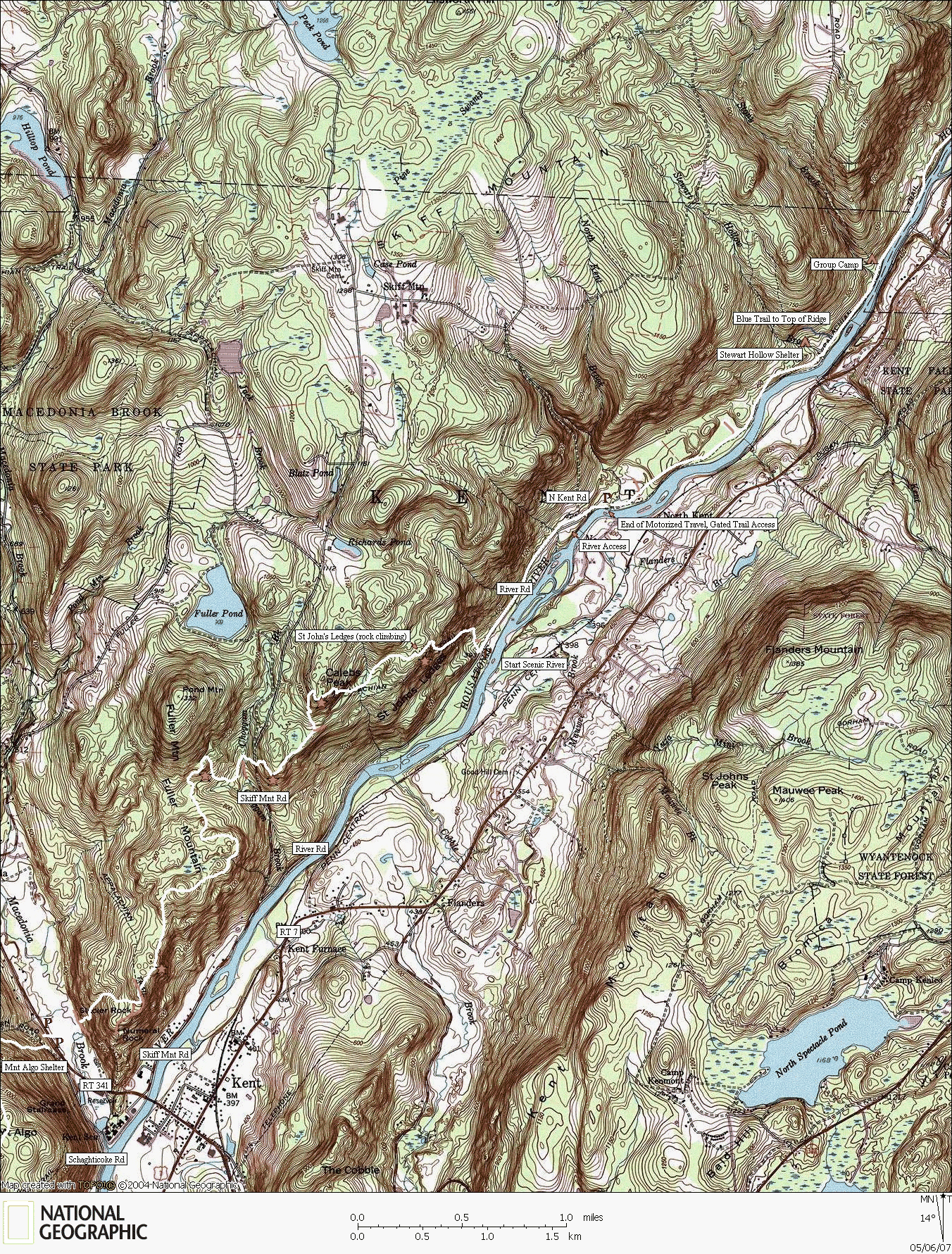
The Appalachian Trail
River Road to Kent
Trails mapped by CTXGuide copyright 2007
Map created with TOPO! copyright 2007 National Geographic
The River Road section continues to be a fly-fisherman's dream with it's scenic access to the Housatonic River. The gate seperates the footpath trail to the north with the driveable River Road section to the south. Once the trail travels west into the woods, there is a steep and rugged climb that will spank most through-hikers carrying heavy packs. This ridge is an access to Saint John's Ledges, a popular top-rope rock climbing area which provides a scenic view from the top. The remainder of the trail to RT 341 is full of steep climbs and descents.


